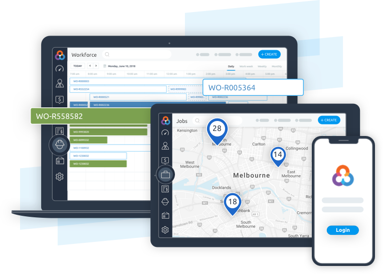
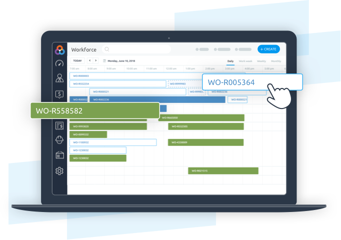
Looking for a Small Business Solution? Check out Loc8 for SME

Along with our extensive list of product features, we also provide you with quick-and-easy onboarding, helpful video guides, a comprehensive collection of help docs and much more...
Schedule a time that suits you and get your personalised product tour with one of our support team members.
Book your demo

No, when signing up to Loc8 you can sign up to our Professional plan which begins on a free 14 day trial. You will need to enter your credit card details when the trial has ended. To learn more visit our pricing page.

Absolutely! You can trial our Professional plans for 14 days for free! To learn more visit our pricing page.

Yes, Loc8 has apps available for both iOS and Android devices.
